Social Media
July 2, 2018
Robert Butler, environmental studies emeritus professor, was the lead geology instructor for the inaugural EarthScope Alaska Native Geoscience Learning Experience (ANGLE) Workshop in Anchorage, Alaska.
ANGLE is a project funded by the National Science Foundation (NSF) EarthScope Program and runs from 2018 – 2020. The recent workshop included K-12 Earth Science teachers, parks and museum interpreters, and emergency management educators in Anchorage, Seward, Kodiak Island, and other communities in south central Alaska. Butler’s favorite part of the workshop was the field trip that included stops at locations in Anchorage and Whittier that were heavily impacted by the 1964 great Alaska earthquake and tsunami.
“The field trip was special for me because I studied the 1964 Alaska earthquake initially as a graduate student in 1969 and off and on since then.” Butler said. “During the six months prior to the ANGLE Workshop, I dove back into the stack of geological and seismological publications about the 1964 Alaska earthquake and resulting tsunamis."
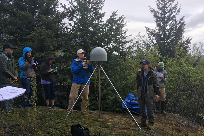
Left: Butler removing the cover from the antenna of a GPS receiver at Bird Point along Turnagain Arm east of Anchorage. This station is one of over 1000 high-precision GPS stations operated by EarthScope.
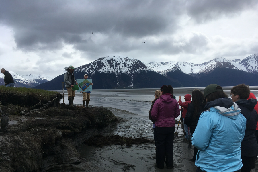
Right: Butler holding sign as Rob Witter, US Geological Survey Anchorage, explains how ground subsidence of over 2 meters during the 1964 Great Alaska earthquake formed the ghost forest at Girdwood along Turnagain Arm east of Anchorage.
"I needed to learn the science in detail and figure out how to translate that science for the people who would be learning in the workshop,” Butler said. Although I had studied the 1964 Alaska earthquake, I had never been to the actual field locations made famous by that earthquake. The ANGLE field trip, led by US Geological Survey geologist Rob Witter, was like a pilgrimage for me.”
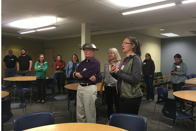
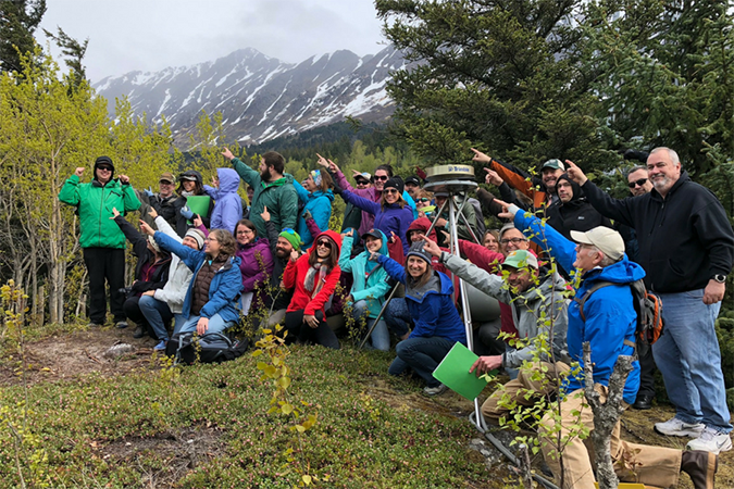
Butler with salad bowl on his head playing the role of a GPS receiver and demonstrating how the distances of the receiver from at least 3 GPS satellites can determine the location of the receiver on Earth’s surface.
When asked what we could to do to prepare for the inevitable earthquake and tsunami that will happen in the Pacific Northwest Butler gave three tips:
University of Portland
5000 N. Willamette Blvd.,
Portland, Oregon 97203-5798
503.943.8000
This website uses cookies to track information for analytics purposes. You can view the full University of Portland privacy policy for more information.